BIEVR-LIO: Robust LiDAR-Inertial Odometry through Bump-Image-Enhanced Voxel Maps
Abstract summary
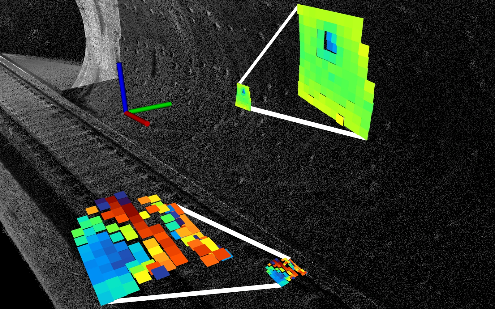
BIEVR-LIO addresses localization failures in environments whose large surfaces offer few constraints for point-cloud alignment. Its map stores fine surface detail as oriented height images within voxels. Registration uses this representation directly, retaining information that can disappear when a surface is approximated by a plane. A map-informed sampling method assigns more measurements to regions with useful geometric variation and fewer to relatively flat regions. This focuses computation where it can improve localization. Experiments span different sensors, robotic platforms and environments, showing reliable estimation in challenging scenes where comparison methods fail. The same detailed map can also support downstream tasks, including elevation mapping for locomotion.