ForestLPR: LiDAR Place Recognition in Forests Attentioning Multiple BEV Density Images
Abstract summary
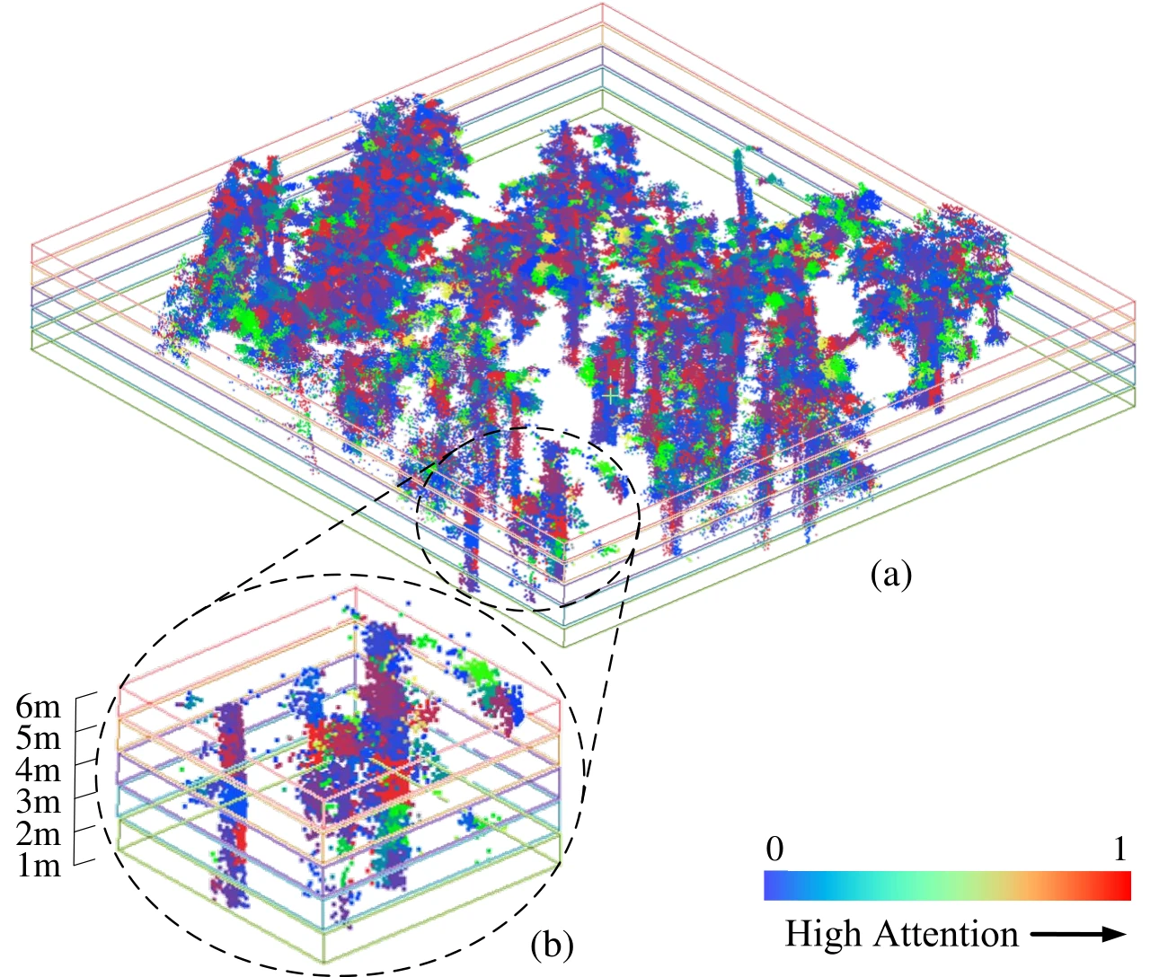
ForestLPR tackles place recognition in forests, where similar-looking trees and changing vegetation make revisited locations difficult to identify. It converts horizontal slices of a LiDAR point cloud into bird's-eye-view density images at several heights. A shared visual-transformer backbone extracts local features, and an interaction module learns which heights provide useful information at each location. These features are aggregated into a descriptor designed to remain robust to rotation. Evaluation on public benchmarks and robotic field datasets covers both loop closure within a sequence and relocalization between sequences. The reported average Recall@1 improvements over the closest comparison method are 7.38% and 9.11% for those two settings, respectively.